Do you have any questions?

Training and Data: Smarcon Geospatial Data and Modelling Lab-(SGDM Lab)
Data Services
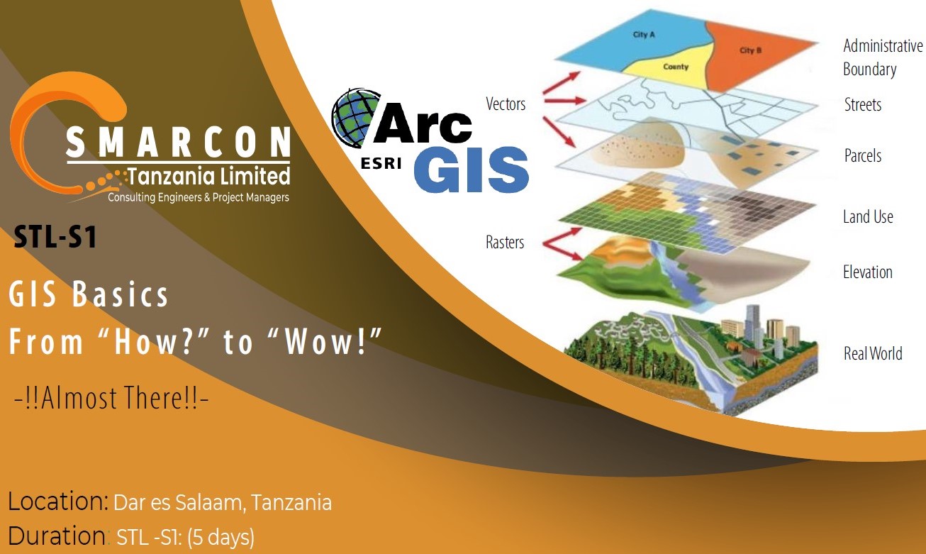
Significant advances in GIS and remote sensing have yielded a wealth of high-resolution geospatial datasets, including rainfall, vegetation, topography, soil moisture, groundwater, and evapotranspiration, now freely accessible. However, the incompatibility of most of these datasets with common GIS software has hindered their application in Africa.
SMARCON Geospatial Data and Modelling Lab (SGDM Lab) data scientists collect, download, harmonize, pre-process, archive, and provide easy-to-use geospatial data to individuals and research groups working in key sectors: natural resources, climate change, agriculture, energy, health, and the built environment. Our research scientists also offer support in data analysis and model integration.
Modelling Services
SGDM Lab offers modeling resources and consultancy services to support improved decision-making in design, manufacturing, and environmental impact assessment. We possess strong programming skills and expertise in various software packages. Our high-performance computing machine accelerates the calibration process, enabling the simultaneous execution of multiple models.

